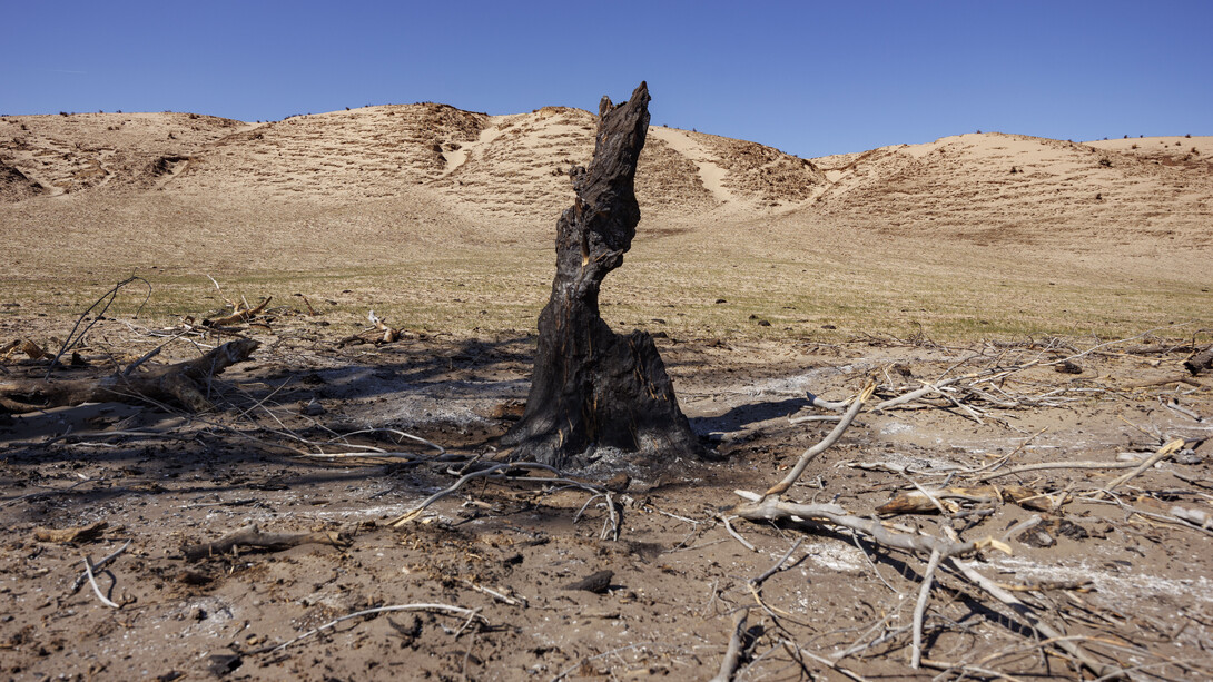
Following historic wildfires that have burned nearly one million acres of Nebraska grazing lands this spring, the University of Nebraska–Lincoln has launched a new online hub that integrates science, mapping and field-based documentation in one place.
The resource — the first of its kind focused on working grasslands — is designed to track and monitor long-term recovery while supporting farmers, ranchers and land managers as they restore Nebraska’s native grasslands.
Built through the integration of Nebraska Extension and university research programs, the platform combines scientific data, decision-support tools and applied guidance to help producers navigate recovery following wildfire.
“Wildfire recovery unfolds over years, not months,” said Dirac Twidwell, rangeland ecologist at Nebraska.
“What we’ve built here is not just a map of fires — it’s a system that helps people understand recovery, anticipate change and respond with better information.”
The hub is informed by decades of research and monitoring.
Twidwell’s lab has studied and cataloged more than 1,300 wildfires across the Great Plains since 1985, building one of the most comprehensive datasets on wildfire and recovery in the region. That work now powers the platform’s interactive tools, allowing users to explore wildfire history and recovery patterns over time.
“Each mapped polygon represents a wildfire dating back to 1985,” Twidwell said. “That long-term record lets us see how grasslands actually recover — across different weather patterns, management decisions and landscapes — and that perspective is critical for making sound decisions today.”
Through the platform, users can:
- Explore where and when wildfires have occurred across Nebraska since 1985;
- View wildfire perimeters and details such as year, size and fire name;
- Analyze how vegetation responds before and after wildfire using time-based graphs;
- Compare current conditions to past wildfire patterns;
- Identify similar past wildfire events to inform recovery decisions.
The tool integrates long-term wildfire records with remotely sensed vegetation data, allowing users to evaluate how grasslands recover over time. Vegetation response is displayed through graphs comparing pre- and post-wildfire conditions, helping producers assess recovery timelines and variability.
The platform goes beyond visualization of past fires, integrating decades of Nebraska research into practical guidance for rangeland, livestock, crop and water systems, connecting science directly to management decisions. It also links users to Nebraska Extension educators and partner networks, making it easier to access technical expertise, find local contacts and identify upcoming field days and workshops.
The initiative includes a new post-wildfire monitoring approach that connects research expectations with landowner engagement while coordinating future research efforts to improve recovery outcomes across the state.
The data behind the platform draws from multiple national and research-backed sources, including the Rangeland Analysis Platform for vegetation data, the Monitoring Trends in Burn Severity database for historical wildfire perimeters and the National Interagency Fire Center for recent fire data.
University research has also shown an increase in large wildfires across Nebraska and the Great Plains, underscoring the need for long-term recovery planning and improved decision-support systems.
Share
News Release Contact(s)
Tags
High Resolution Photos

HIGH RESOLUTION PHOTOS