Lincoln, Neb. —This will be a six-part part series on the dams, reservoirs, power generation and some diversion dams located on the North Platte River. The series will follow a chronological order of the history and construction of these projects.
This “TEACUP” model graphic from the Bureau of Reclamation shows the dams and reservoirs on the North Platte River in Wyoming, their total capacities, current capacities, the inflows, and outflows.
The Kortes Unit is part of the Pick-Sloan Missouri Basin Program (formerly the Missouri Basin Project). The Pick-Sloan program was authorized in 1944 under the Flood Control Act. This was a general comprehensive plan for the control, beneficial use, and conservation of water for the entire Missouri River Basin. Uses include flood control, irrigation, hydropower generation, municipal and industrial water supplies, sediment control, pollution abatement, fish and wildlife habitat, endangered species, and recreation.
The Army Corps of Engineers cooperates with the U. S. Bureau of Reclamation and other agencies with a joint coordinated plan for the control, conservation, and use of the basin’s water. Other cooperating agencies include the Bureau of Mines, Bureau of Land Management, Geological Survey, Bureau of Indian Affairs, Fish and Wildlife Service, Office of Water Research, and the National Park Service.
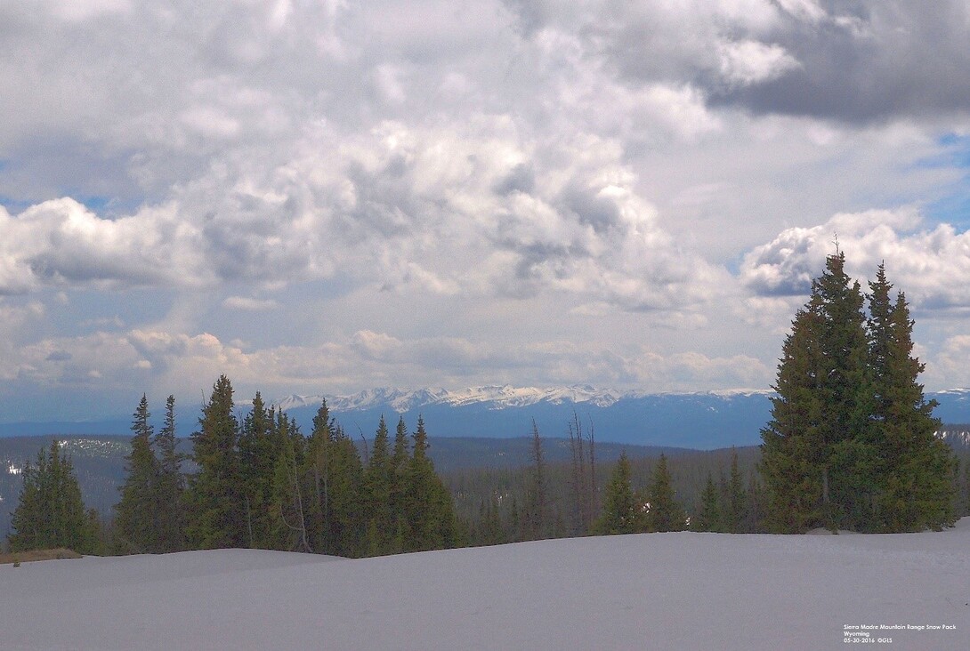
The Kortes Unit consists of the Kortes dam, reservoir, and powerplant. It was originally considered to be in the Kendrick Project but dropped. Kortes dam is the second dam on the North Platte River, approximately two miles downstream from Seminoe dam. Kortes dam located in Black Canyon, is upstream from Pathfinder reservoir.
Construction for the dam and powerplant started in 1946 and completed in 1951. The dam is a concrete gravity dam 244-feet high and 440 feet long. The reservoir capacity is 4,700 acre-feet. The powerplant has three generators each producing 12,000 kilowatts. The reservoir is always maintained at near full capacity to maximize power production.
In addition to hydropower generation, Kortes serves to help regulate the flow from Seminoe reservoir. If necessary, Kortes power plant also has the capability to preform a black start procedure to start Seminoe, Fremont Canyon, and Alcova powerplants.
Recreation is limited due to the remote location and rugged canyon walls. Fishing is the primary recreational activity in the area. The stretch of the North Platte River between Kortes and Pathfinder reservoirs called the “Miracle Mile,” is a blue- ribbon trout fishery known world-wide. Congress passed a bill that requires a minimum of five hundred cfs river flow downstream from Kortes be maintained constantly to preserve this fishery.
Still the question from my Water Law 101 series, what is water worth?
References
Simonds, Wm. Joe, “The Kortes Unit – Oregon Trail Division, Pick-Sloan Missouri Basin Program”, Bureau of Reclamation, 1996
“Pick Sloan Missouri Basin Program”, U.S. Department of the Interior, Bureau of Reclamation, Pick Sloan Missouri Basin Program (usbr.gov)


