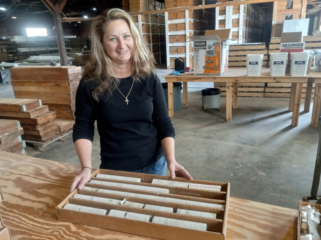
Lincoln, Neb. —Michele Waszgis looks down at the boxes of rock samples positioned neatly on a table. She points and explains. “Basically, these are puzzle pieces from underneath the ground,” she says.
Her words unlock mysteries many millions of years old — mysteries from Nebraska’s deep past.
Those wavy lines undulating in a piece of limestone? Those, she explains, are the geologic effects from sea life in Nebraska’s long-ago past, when a shallow sea stretched across much of interior North America.
Those curious sparkling effects in a blue-black-gray igneous rock? Those are components of what’s called the Elk Creek carbonite, a geologic anomaly the Conservation and Survey Division (CSD) discovered in Nebraska’s Johnson County. The rock formed millions of years ago and contains niobium and other rare earth elements.
Niobium is a critical mineral primarily used in alloys to strengthen steel and is also used in components of cellphones, batteries, medical equipment and green energy. The company NioCorp recently began clearing property in Elk Creek, Nebraska, in preparation for a niobium mine.
As Waszgis explains the CSD repository’s wide range of materials, she is standing in a massive storage facility dating from the World War II era near Mead, Nebraska. In the 1940s, the brick and wood-frame structure, with formidable concrete floors two feet thick, manufactured munitions for the U.S. arsenal against the Axis powers. These days, the building is one of five facilities for the CSD Geological Sample Repository and holds thousands of drilling cores and other geological samples.
Michele Waszgis, a geologist with the Conservation and Survey Division and UNL’s School of Natural Resources, displays a preserved shale and sandstone core sample from a 2,900-foot depth drilled in 1969 in the Nebraska Panhandle near Crawford. The sample, donated by an oil and gas company, is part of the CSD repository at UNL’s Eastern Nebraska Research and Extension Center near Mead, Nebraska. Photo by Geitner Simmons.
Many of the samples are from private industry — oil and gas drillers, construction firms — while others were drilled by CSD, which maintains the repository. In 2021, CSD personnel responded to 5,779 requests for service from 119 agencies and organizations worldwide.
Waszgis, a CSD geologist within the School of Natural Resources at the University of Nebraska-Lincoln, manages the repository facilities located on UNL’s City and East Campuses and at the university’s Eastern Nebraska Research and Extension Center (ENREC) near Mead. CSD keeps meticulous records of sample data and has a lab at UNL’s Nebraska Hall.
The Conservation and Survey Division discovered this geophysical anomaly, containing critical minerals such as niobium, near Elk Creek, Nebraska, during drilling in the late 1960s and early 1970s. CSD conducted extensive follow-up analysis. In recent years, CSD has provided materials regarding Elk Creek carbonite, as well as geological expertise, at no cost to the company NioCorp as it makes preparations to begin mining niobium near Elk Creek. Photo by Geitner Simmons.
At the lab, CSD analyzes geological samples from CSD mud-rotary drilling and the oil and gas industry and processes and preserves related chunks of rock known as “cuttings.” In all, the sites total more than 28,000 square feet.
Each preserved core “tells a story,” says Waszgis, who is also part of a team of field geologists with the CSD drilling program. Geologists “read” the rocks through physical and chemical analyses. The resulting information from the geological puzzle pieces, she says, “is important not just for Nebraska but for the whole United States. That's why we preserve these as well, because we can get so much information from them, whether it's natural resources, groundwater management or critical minerals.”
Nebraska has had a state geologist since 1871, underscoring the state’s early recognition of geological study’s practical importance. In 1893, the Nebraska Geological Survey was formed under State Geologist Erwin H. Barbour to gather information systematically from the panoply of Nebraska field studies. In 1921, the Nebraska Legislature created CSD by merging the Nebraska Geological Survey with the state’s water and soil surveys. The 1921 law mandated the new entity to preserve logs and specimens throughout the state.
The CSD drilling program began in the 1930s and continues today, with a wide array of benefits: a network of groundwater-level monitoring wells; groundwater quality studies; landscape and geological maps; discovery of critical minerals; groundwater modeling; preserved geological samples for future research; and a wealth of other unbiased geological and natural resources data available to the public.
The CSD drilling program is able to drill to 800 feet below surface; however, the repository’s deepest preserved samples, donated by private industry, are from a drilled depth of 17,000 feet (3.2 miles). The repository’s oldest rock core dates from 1887, drilled in Lincoln near Capitol Beach.
Every state has a state geological survey, but Nebraska stands out for housing its survey division in the agriculture-focused part of the state university system, specifically in UNL’s School of Natural Resources (SNR) that is part of the Institute of Agriculture and Natural Resources.
That ag connection is a positive, says Matt Joeckel, a professor in SNR who also serves as Nebraska state geologist and the director of CSD. “We celebrate that connection,” he says, because agriculture has long played such a vital part in the state’s well-being and brings an important perspective to geological analysis.
The eastern quarter of Nebraska was glaciated in prehistoric times, Joeckel notes, and in some places contains deposits from at least three separate advances of glacial ice out of Canada. CSD drilling and analysis have yielded important advances in understanding that geologic history.
Some of the CSD coring in eastern Nebraska “led to fundamental changes in the understanding of the history of glaciation in North America,” Joeckel says. “In the late 1970s, a coring and research program by the survey essentially changed our perception of the timing and the number of separate glaciations beginning about 2.6 million years ago.”
Such as Nebraska’s geologic puzzle pieces, millions of years old and continuing to reveal new insights into the state’s deep past.
Geitner Simmons | IANR Media